Living in Old Trafford
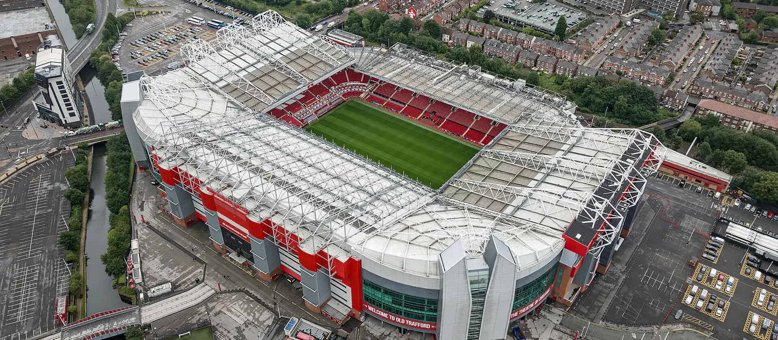
Old Trafford is in Trafford, south-west of the city centre, 3.4 km from Piccadilly Gardens. From the centre of the area, Trafford Bar Metrolink stop is 160 m away. Homes nearby sold for a median of £270,336 in the year to September 2026.
- Median sale price
- £270,33650 sales, year to Sep 2026
- To Piccadilly Gardens
- 3.4 kmstraight line
- Nearest tram stop
- 160 mTrafford Bar
- Nearest station
- 2.2 kmDeansgate
What homes sell for
50 homes within about 700 m of the centre of Old Trafford sold between September 2025 and September 2026. Terraced houses made up 42% of sales. 1 was a new build.
Median sale prices. Types with fewer than 5 sales aren't shown, and the latest months are incomplete because sales take time to register. Source: HM Land Registry Price Paid Data.
Around Old Trafford
Stops and stations
- Trafford BarTram160 m
- PomonaTram510 m
- Old TraffordTram780 m
- DeansgateTrain2.2 km
- Trafford ParkTrain2.5 km
Straight-line distances from the centre of the area. Plan journeys with TfGM.
Day to day
Mapped on OpenStreetMap within 800 m of the centre of Old Trafford:
Supermarkets
- Worldwide Foods110 m
- Manchester Super Store450 m
- Warka Polish Delikatessen560 m
- The Food Warehouse620 m
- Aldi680 m
Parks and green space
- Seymour Park220 m
- Hullard Park500 m
- Monmouth Park900 m
- Gorse Hill Community Garden1.1 km
- Ordsall Park1.2 km
Cafés: Oscar's, Tracks Cafe, Cafe & Bar, Bailey Italia, Costa, Café on the Quays.
Pubs: The Tollgate.
Schools nearby
Open schools with a postcode within about 700 m of the centre of Old Trafford. Catchments and admissions rules vary, so check with the school and the council.
| School | Phase | Type | Pupils |
|---|---|---|---|
| Seymour Park Community Primary School | Primary | Community school | 682 |
Source: Get Information About Schools (Department for Education). Each link opens the school's official record, including its latest Ofsted inspection.
Data: HM Land Registry Price Paid Data (Crown copyright), Department for Education Get Information About Schools (Open Government Licence), OpenStreetMap contributors (ODbL), postcodes.io. Crime figures aren't shown because Greater Manchester Police doesn't currently publish street-level crime data to police.uk.